I don't really know how to start this post but I do know that I have to write it before I forget everything. As it turned out I managed to survive the world-famous west coast trail. I am struggling to find one word to adequately describe it so I will just say that it was...interesting. It took the 9 of us (my parents, Kevan, Matt, Dan, Leah, Duane, Karyn, and I) 7 days to complete the trail. Two of those days were in torrential rain but luckily the rest of our trip was in gorgeous sunshine/fog. The entire trail was approximately 76 km. That is, 76 km of sand, water, mud, roots, cable cars, tidal waves, trees, bog, boardwalk, bridges, boulders, and of course...ladders o' death. It was pretty dang cool.
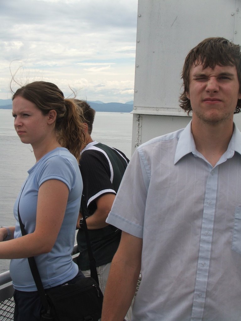
(day -1: on the ferry to the island. we look decently clean.)
Day 0 (Km 0): Pachena Bay campground to...the washrooms at the ridiculously far end of the campground
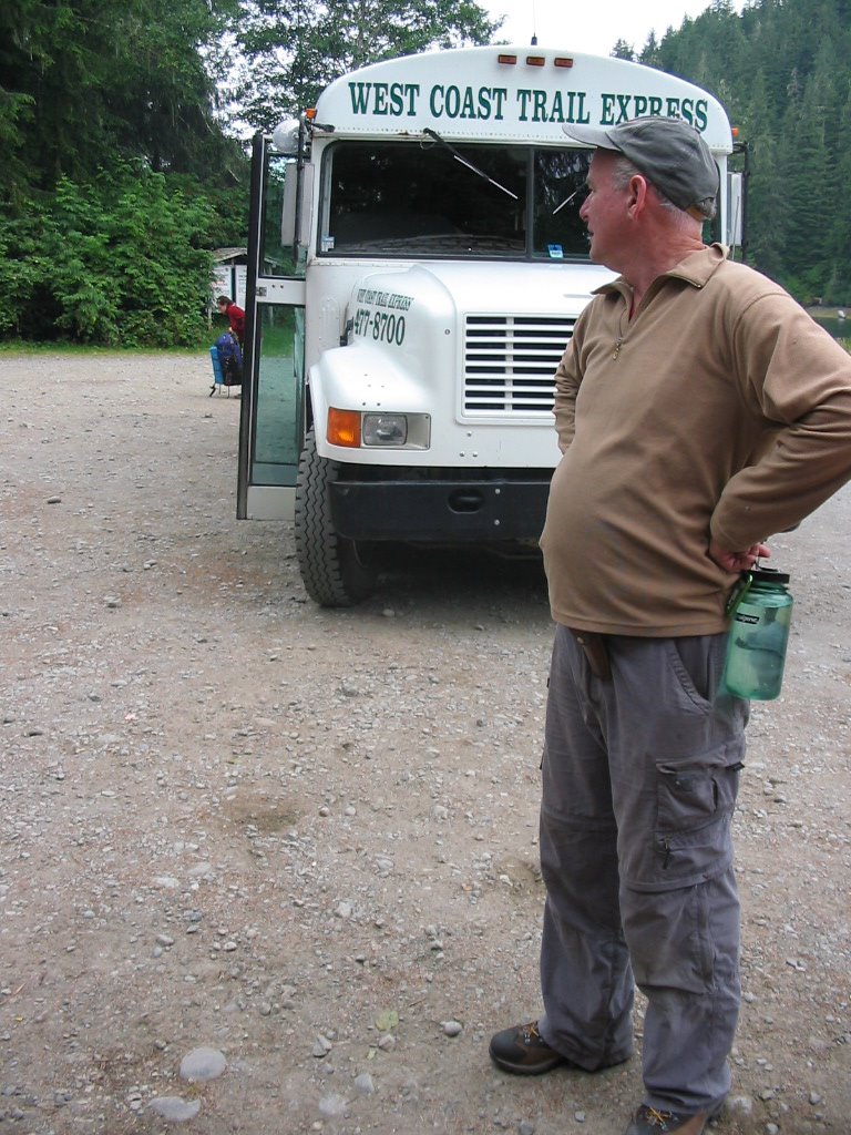
In order to get to the campground we first had to take a 4-hour harrowing bus ride from the south end of the trail through narrow backcountry logging roads. Part of this trip included going over really sketchy bridges (they were less bridges and more strategically placed boards over 100-foot gorges). After crossing one particular bridge at 140 km/hr matt asked the driver, "so, how many times can you miss the bridges before they fire you?" The driver looked intensely at matt and replied, "I dunno, I haven't really missed yet. ha ha."
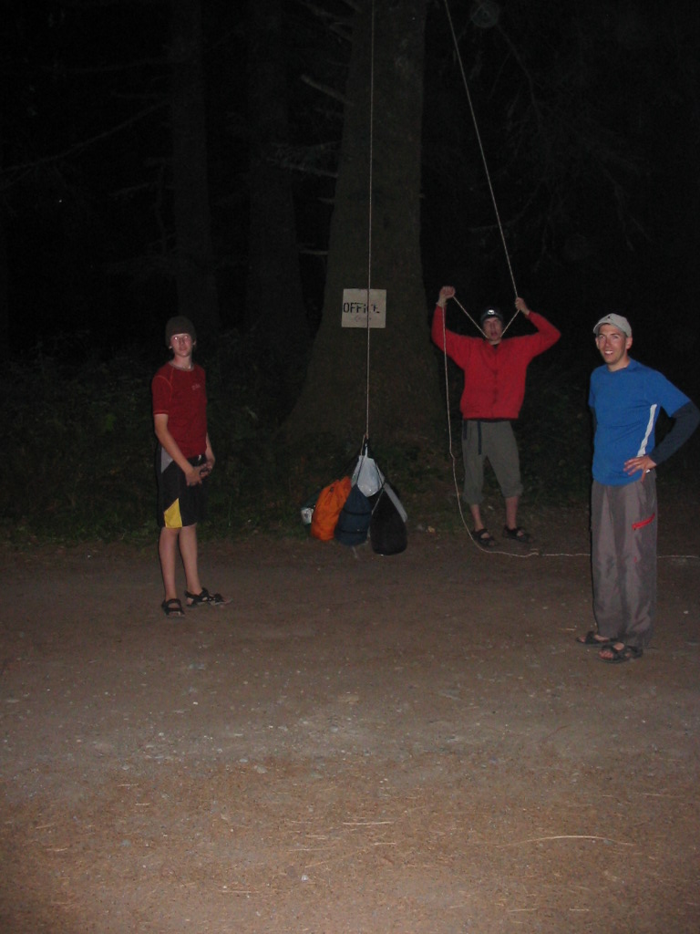
After the west coast trail express (it was VERY express) arrived at the campground (the driver didn't miss any bridges) the boys decided to practice with the bearline. Kevan sustained a minor head injury in the process.
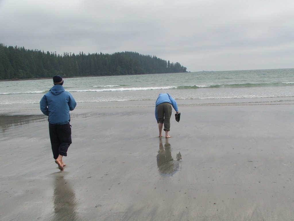
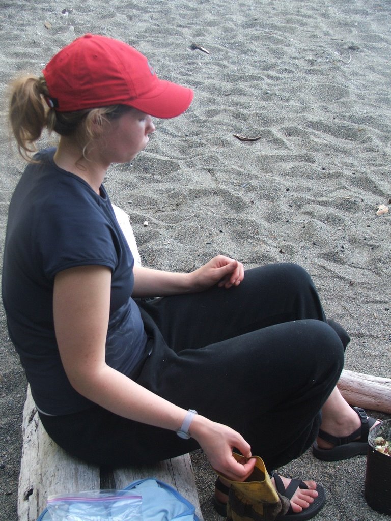
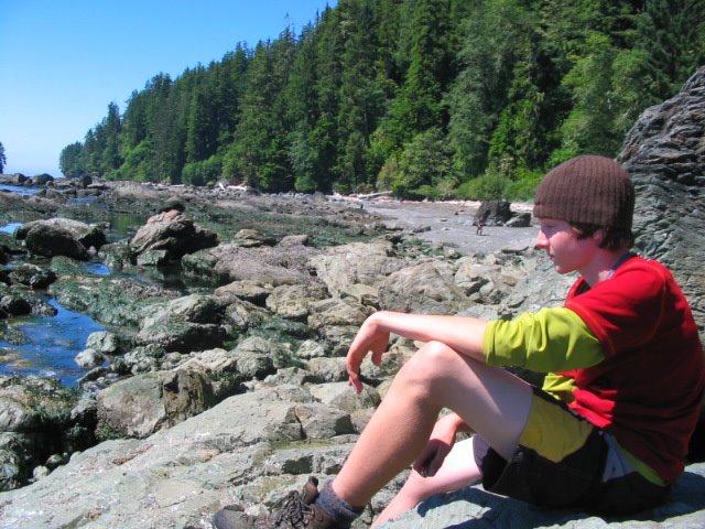
Leah and I burned off energy on the beach...
(Leah often found herself being chased and eventually drenched by the ocean waves - "guys...the ocean keeps sneaking up on me!")
Day 1 (Km 0 - 12): pachena bay to michigan creek
Nothing much happened on this day other than me getting my hand stuck in my sandel (it was on my pack) as I tried to get my pack on and getting separated from the group and finding myself crossing a creek and climbing up part of a tree to get onto a broken overhanging ladder only to find out that I was going to the wrong way. The rain started as we were settling ourselves in our sleeping bags.

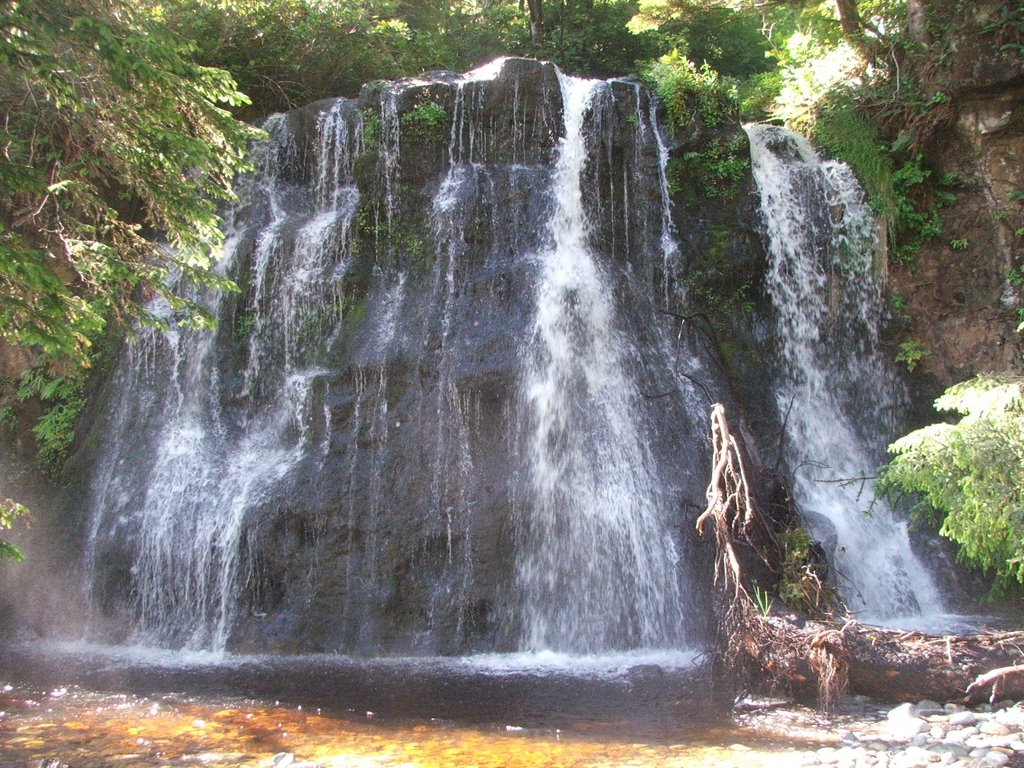
Day 2 (Km 12 - 25): Michigan Creek to Tsusiat Falls
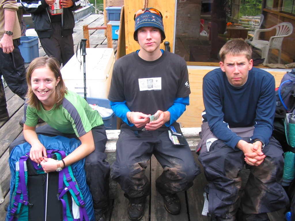
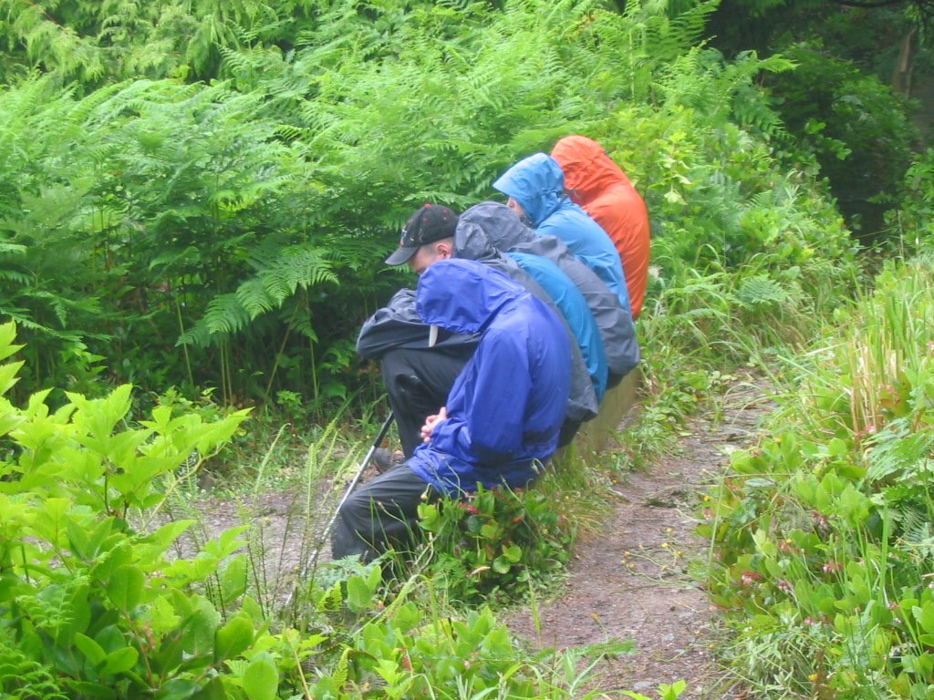
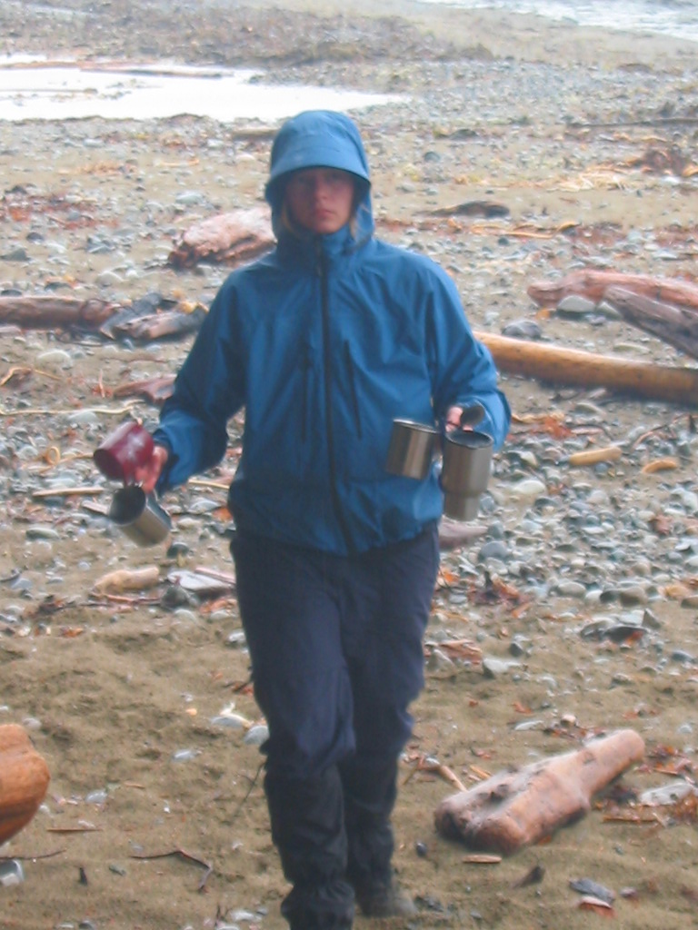
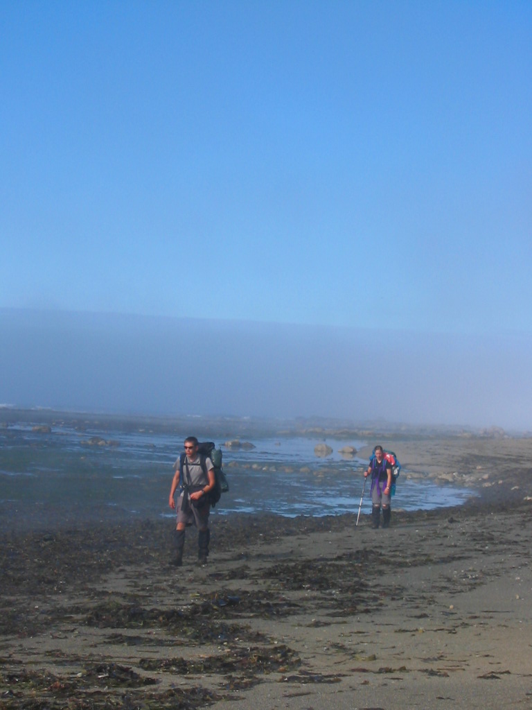
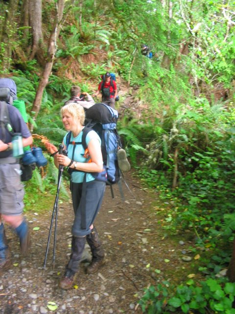
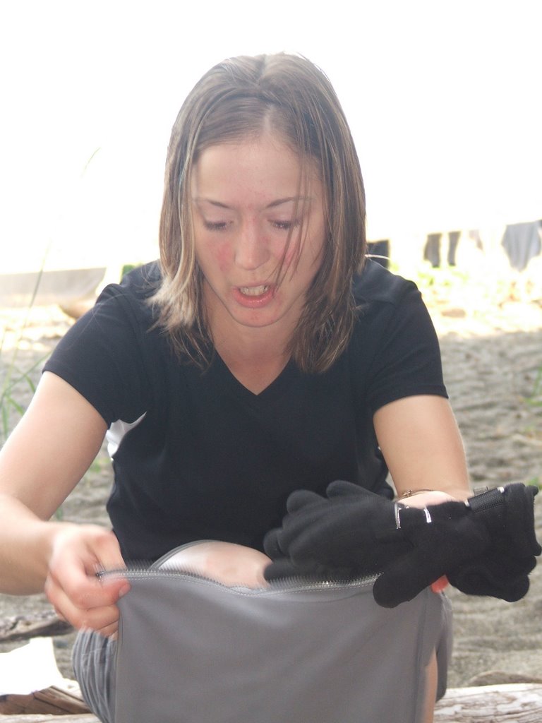
Matt and Dan woke up to their tent floating in the middle of a small lake (I think dan's sleeping bag was actually submerged in the pool at the entrance of their tent). It rained like madness so this picture of us soggy hikers is one of few pictures I took for the next two days. When we arrived at Tsusiat falls it was raining so hard we almost didn't get a fire started. Everything and everyone was drenched and Kevan and I were borderline hypothermic. Tsusiat was supposed to be the most beautiful campsite on the trail. I was having a hard time seeing the beauty at that point.
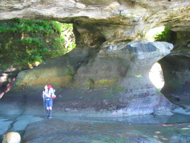
Day 3 (Km 25 - 42): Tsusiat Falls to Cribs Creek
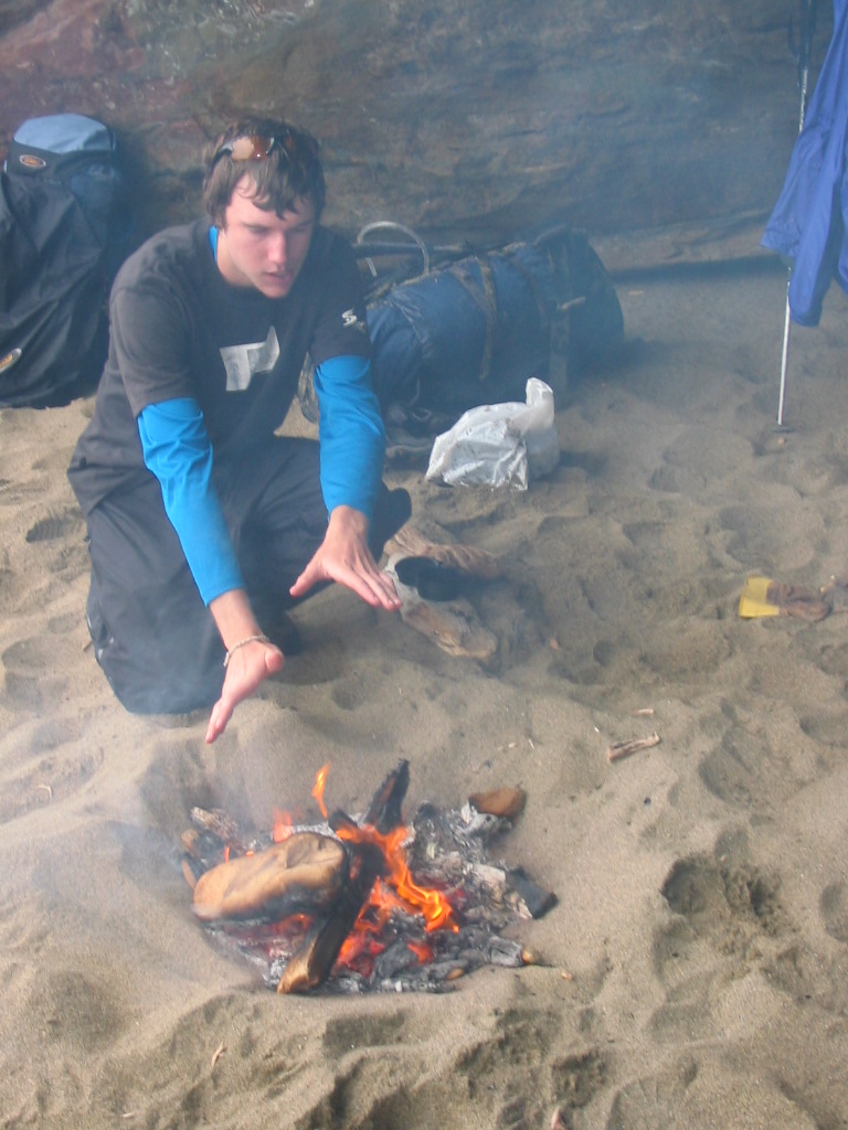
After only traveling 5 kms we stopped at a cave along the beach, built a fire, and attempted to dry our clothes out. I can atest to being a little bit cranky. dan accidentally dumped my pack in the wet sand after I had so carefully placed it on a sandless log and I'm pretty sure I nearly lunged at him with my trekking pole. Sorry dan.
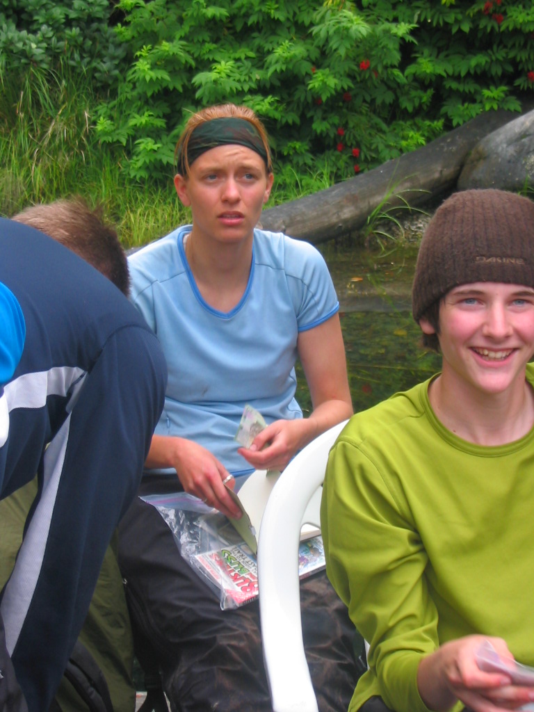
We continued after the cave and made it to the first ferry crossing/place where we ate fresh crab (the crab all had to die a horrific death on the dock in order to make it to our plates...it was very graphic. I had to close my eyes. The second picture is Leah watching the ferry operator man rip the crab's shell off while it is trying to scamper away. Of course Daniel would be sadistically entertained by the ordeal.) It was 4pm by the time we left the dock and we still had 9 kms to cover. We ended up covering almost a km/20 minutes. Leah fell off one of the boardwalks into a waist-deep bog and after the boys pulled her out she took out her frustration on the poor boardwalk with her trekking pole. The boys weren't sure whether to be scared or laugh. We didn't get to camp until it was dark and it was still raining. Not to mention Daniel ended up barfing from the massive amounts of crab he ate and had to leave his pack 2kms from cribs creek campsite. Kevan and Matt ran back for it in the dark after everyone had arrived at camp (bless their hearts).
Day 4 (Km 42 - 48): Cribs Creek to Bonilla Point
The Carmanah Point Lighthouse. Matt stuffing his face while we break at the lighthouse. We got to see killer whales from the lighthouse viewpoint.

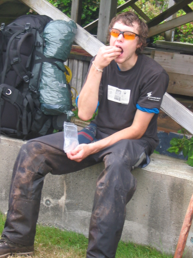
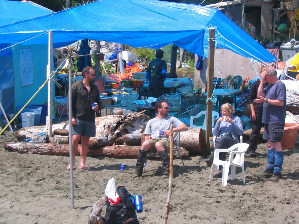
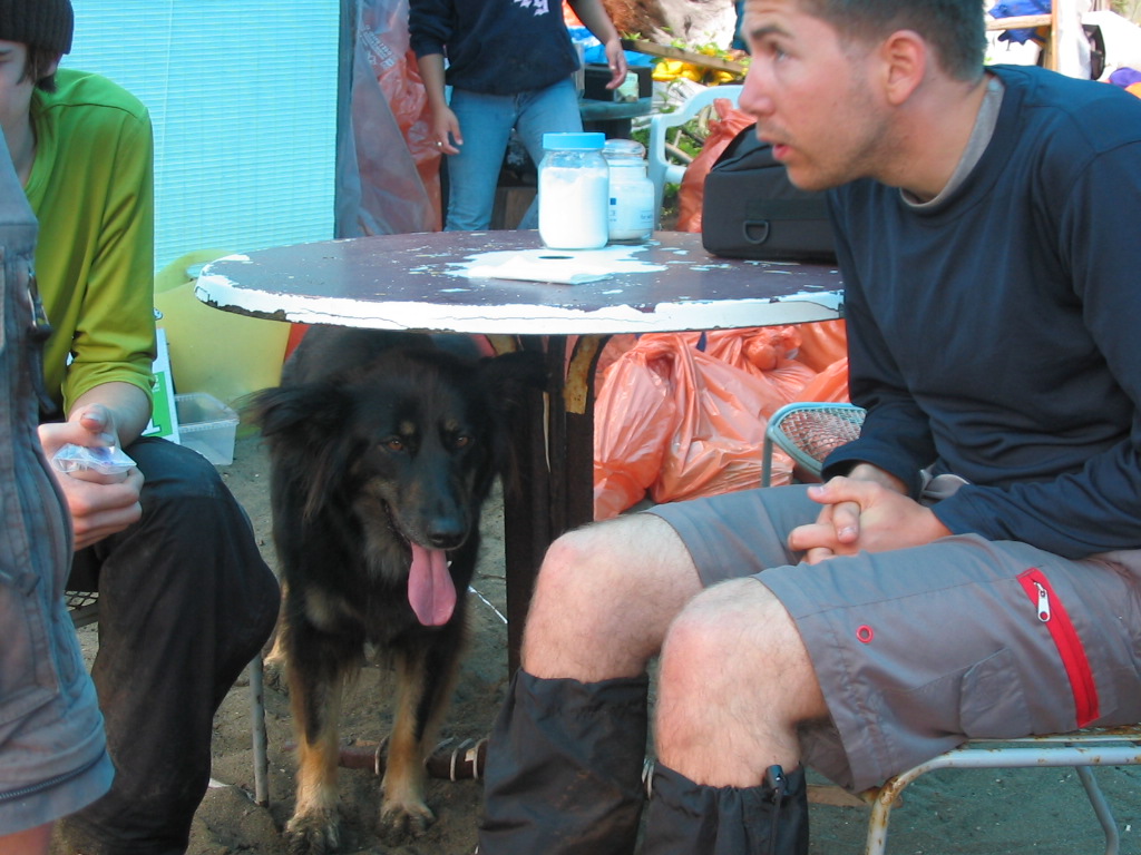
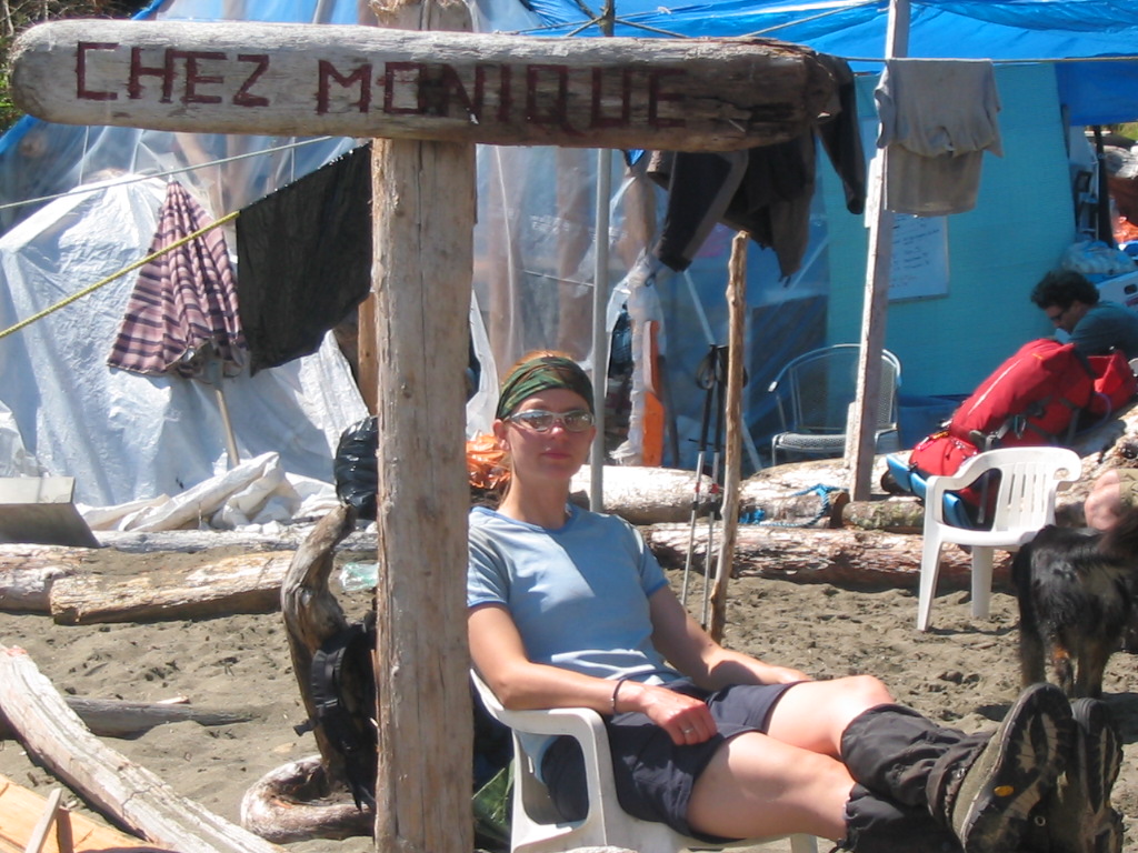
We were definently all ready for the burgers at Chez Monique by this point (Monique lives in a weathered shack on the beach and serves wonderful food to tired hikers. Also, she has the coolest dog ever). It was there we met a hiker wearing a kilt, he had just scattered his father's ashes into the ocean.
We walked down the beach after Monique's at high tide. Little did we know that after we crossed Carmanah Creek (the mouth of the creek opens up into the ocean...we were crossing at the mouth) a huge freak tidal wave would come crashing at us and suck a bunch of our packs, cameras, trekking poles, and unattended hiking boots into the ocean. Matthew and Duane heroically jumped into the surging creek in an attempt to save the gear. It was a chaotic and adrenaline-filled moment but in the end only Matt's and Leah's (brand new) cameras and mom's trekking pole lost their lives. Weighed down with 30 extra pounds of ocean in our packs we decided to make camp at bonilla point...five km's short of our original goal.
Day 5 (Km 48 - 63) Bonilla Point to Campers Bay
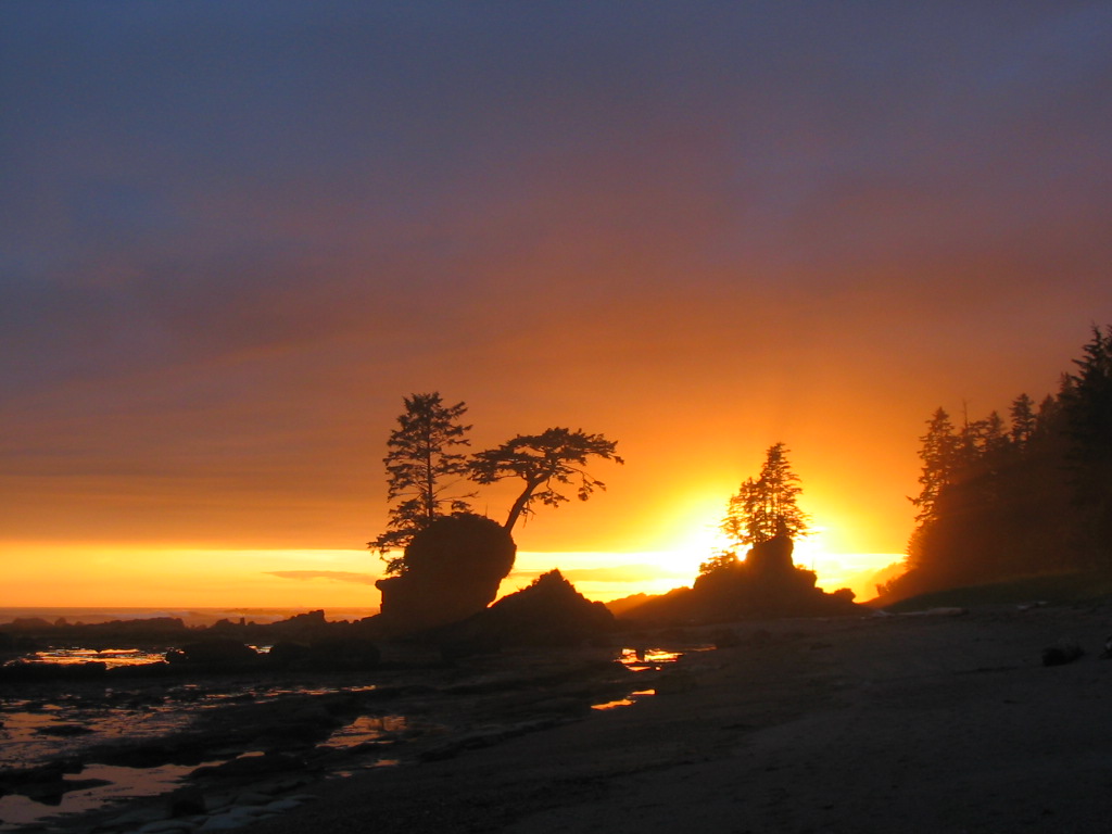
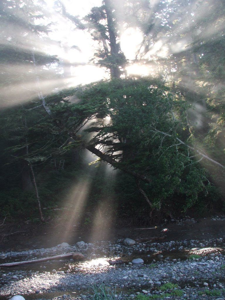
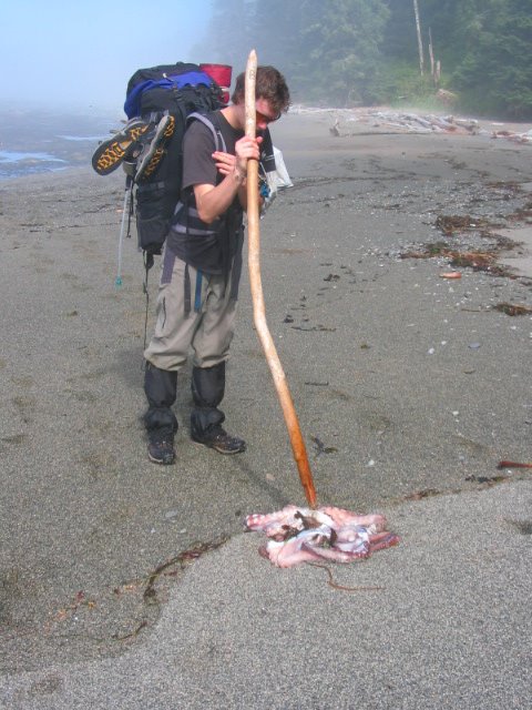
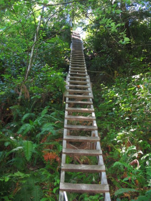
The day started out beautifully with the fog with the sunshine shining gloriously through the trees, the walk on the beach, the dead octopus matt found...we found out after that the trek to Campers Bay was one of the hardest days on the entire trail. One word: ladders, ladders, and ladders (oops that's three)
The Octopus had no head mind you, something had killified it ('killified' means really, really dead)
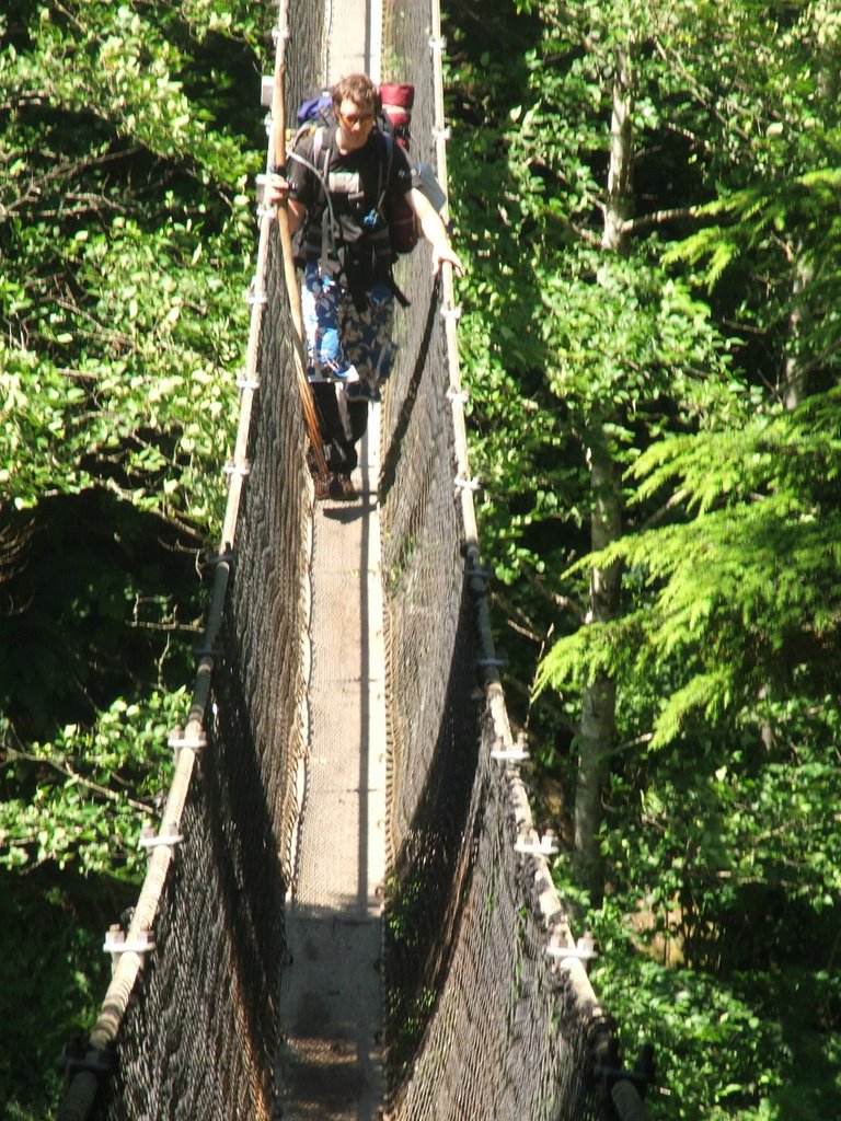
Ladder hell followed by a little bit of swaying-suspension-bridge-across-a-deep-gorge action followed by some more ladder hell...then came the roots and knee deep mud.
Day 6 (Km 63 - 71): Campers Bay to Thrashers Cove
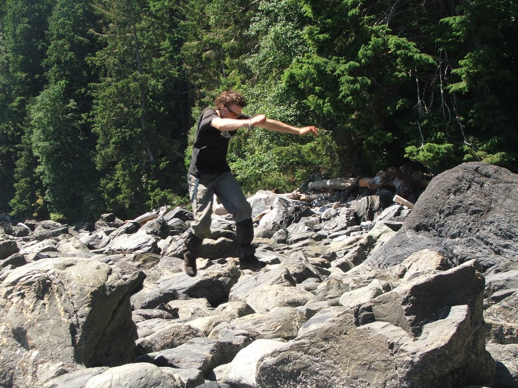
We had two route options this day: the forest (more roots and mud although a very safe option) or the beach/boulders (tides had to be at a certain level to take this route and the boulders were not advisable although everyone said it would be worth it). After we spoke to several other hikers (one of which included the british man in the spandex suit) we opted for the boulder route. We were told some of the boulders were the size of houses and this is where people usually broke bones. In the end we were very happy to have gone this way and the boulders ended up being alot of fun. It was like running through frank slide...with water in between the rocks and, evidentally, little raccoons.
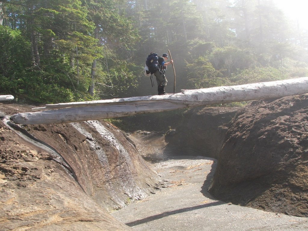
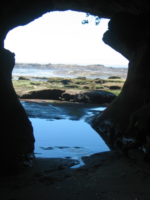
Matt decided to take the unstable log route, the rest of us just walked through the dry surge channel. Next, we came across sweet tunnels carved by the ocean. I wanted to see what it was like when the ocean surged though these caves but I figured I might have to be uncomfortably close to the water to get a decent view.
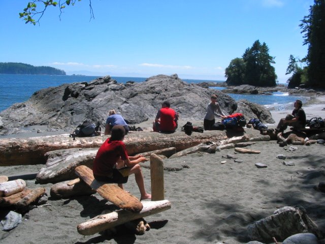
We took a breather before embarking on the boulders. Mom was still shaking from the surge channel crossings (the really undry ones).
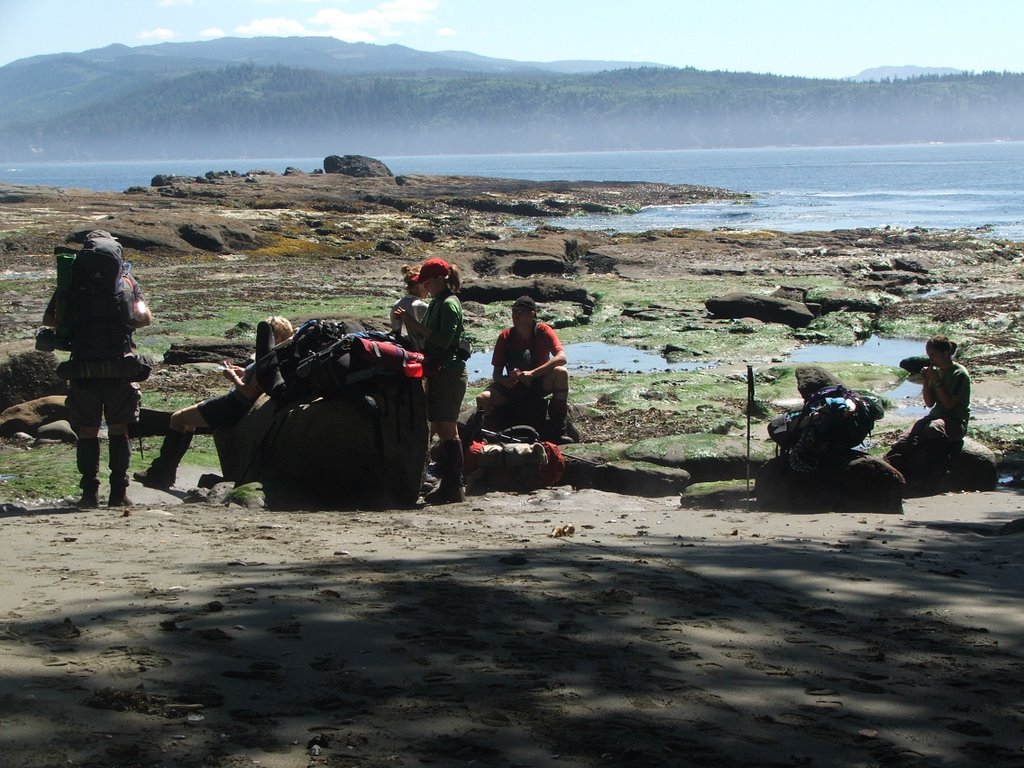
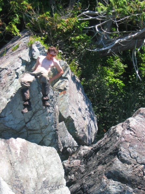
Matt bounded across the boulders like a little monkey (his pasty-white complexion nearly accidentally sent signals to the nearby ships so we made him put his shift back on). During one of our breaks he felt like a little boulder hac would be in order (we had already played ferry hac, beach hac, boardwalk hac, and big-rock-with-waves-crashing-against-it hac).
Thrashers cove was an appropriate name as the tide came close to thrashing our tents. As we were preparing dinner Matt and Karyn fell asleep on a big rock. They woke up at high tide and found the rock surrounded by water.

Last night of sleeping with sand in my tent, sleeping bag, pants...last night of people collapsing my tent as they walk by, last night of matt letting the air out of my thermarest, last night of dad throwing dead crabs at me, last night of sore feet...we could see civilization from our campsite.
Day 7 (Km 71 - 76ish): Thrashers Cove to Gordon River
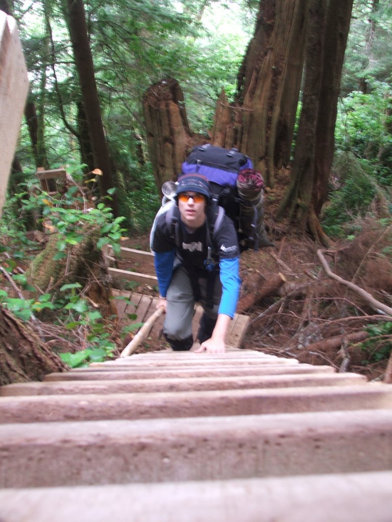
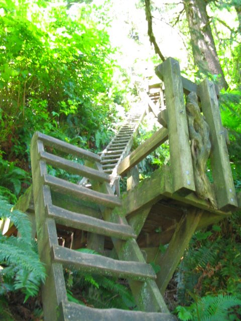
The day started out with a vertical kilometer to the main trail. It sucked. Before we even started Leah offered to carry some lady's pack up the first set of 300-story high ladders. The lady was overjoyed by the offer and so up Leah went. When she came down to get her own pack she told us, "that was just my warmup." Sick.
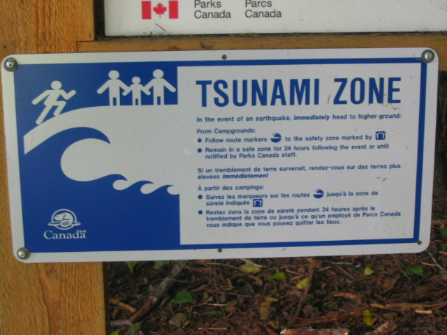
Usually right before you get to a ladder you will see a sign that says 'tsunami' with a picture of a big wave and a arrow that points in the general direction of straight up. If we were to ever encounter a tsunami we were to drop our packs, pee our pants, and head straight up the ladders before being devoured by the sea. At the top of the ladders was a little sign with a picture of a house reassuring us of our safety. Fortunately the ocean never did chase us up any ladders.
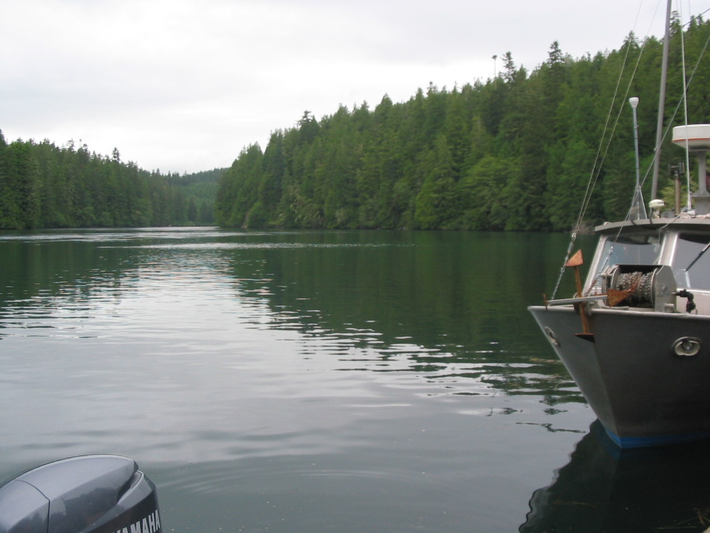
After a brutal 5 km stroll (4 kms uphill and a sharp 1km drop) we arrived at the end of the trail where we were to signal for the ferry to take us across the gordon river to our vehicles. I think my mom wanted to fall down and kiss the blessed ground but I am not certain. Prior to kilometer 76 we had a thought to move the 74 km marker (a little yellow sign) and place it between km's 72 and 73. After much thought we concluded that such a thing would be a childish and mean. Also, in order to carry it out we would have to hike back a kilometer and a half to place the sign.
Now I realize this has been a decently long post and I should end it here but ah, what the heck, here are some more pictures.
Congratulations to all those who took the time to read through this post.